New Digital Maps Uncover Vast, Previously Unknown Roman Road Network
High-resolution digital maps reveal the Roman Empire's extensive road network, including 110,000 kilometers of previously unmapped routes, offering new insights into ancient history.
 Associated Press
All roads in ancient Rome stretched far longer than previously known, study shows

 Gizmodo
The Roman Empireâs Entire Road Network Just Got Mapped, and It's Mind-Blowing
 IFL Science
Incredible Roman Empire Map Shows 300,000 Kilometers Of Roads, Equivalent To 7 Times Round The World
 Scientific American
All the Roads That Led to Ancient Rome in One New Digital Map
Overview
High-resolution digital maps have been created, revealing previously unknown routes of the Roman Empire's road network, spanning from Great Britain to North Africa.
The new mapping efforts have uncovered approximately 110,000 kilometers (68,350 miles) more roads than previously estimated, significantly expanding our understanding of the ancient infrastructure.
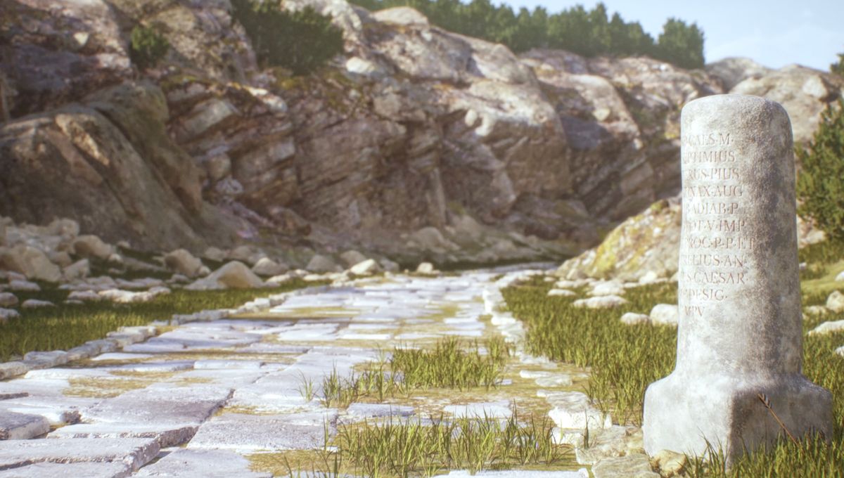
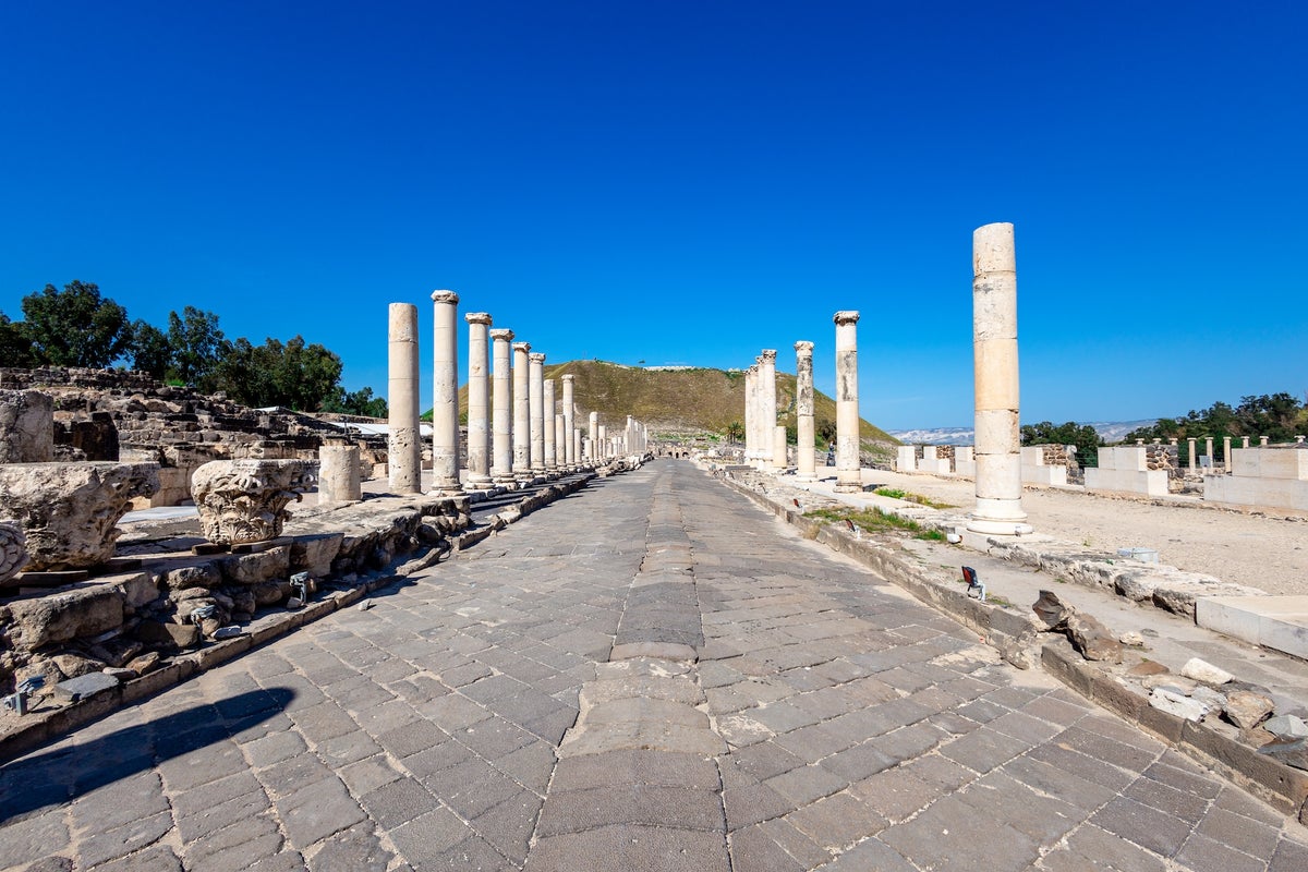
The Roman Empire's vast road network, totaling 300,000 kilometers, was essential for controlling movement, facilitating conquests, and administering its expansive territories.
Current data indicates that only 2.7% of the Roman road network is accurately mapped, with a large portion known with less precision or still theorized.
This new data set and map provide valuable insights into ancient pandemics, mass migrations, the development of religions, mobility, trade, and the spread of diseases.
Analysis
Center-leaning sources frame this story with an enthusiastic and awe-inspiring tone, emphasizing the vastness and significance of the newly mapped Roman road network. They use evaluative language to highlight the research's "mind-blowing" nature and its "impressive" implications for understanding ancient connectivity, creating a narrative of grand discovery.
FAQ
The new Roman road maps were created using a high-resolution digital dataset called Itiner-e, which integrates archaeological and historical records, modern and historical topographic maps, and satellite imagery. Researchers identified roads from these sources and digitized them for comprehensive spatial coverage, adapting routes to actual geographical contours—such as winding paths in mountainous regions—rather than assuming straight lines. This approach greatly increased road coverage, especially in regions like the Iberian Peninsula, Greece, and North Africa.[1]
Only 2.7% of the Roman road network has been mapped with certainty. The remaining 89.8% are known with less precision, and 7.4% are hypothesized, primarily due to the reliance on fragmentary evidence from archaeological and historical sources, varying degrees of preservation, and the lack of direct physical remains in many regions. Ongoing research continues to address these knowledge gaps.[3]
Roman roads enabled rapid military movement, efficient administration, and long-distance trade throughout the empire. The network connected cities and regions, supporting the spread of goods, ideas, religions, and even infectious diseases. The sheer scale of the network—approximately 300,000 kilometers at its height—facilitated both the conquest and the maintenance of the empire, and is now seen as crucial for understanding mobility, migration, and the spread of pandemics in the ancient world.[1]
Previous maps, such as those based on the Barrington Atlas, provided lower spatial resolution and often assumed straight-line routes, resulting in incomplete and sometimes inaccurate reconstructions. The new mapping (Itiner-e) uses higher resolution data, adapts routes to real geography (such as winding mountain paths), and incorporates both archaeological evidence and remote sensing, leading to a nearly doubling of the known road network and a more accurate, detailed digital representation.[1]
The findings revolutionize our understanding of Roman connectivity and mobility, providing data for future research on migration, pandemics, trade, and cultural exchange. The map highlights both the extent of Roman infrastructure and the gaps in current knowledge, serving as an openly accessible, community-updated resource for ongoing study. This enables researchers to model the impact of Roman roads on historical processes and to examine parallels with modern network challenges.